Although the early sailors needed little more than the stars to guide their way, technology has always come in handy in the world of boating. These days, most types of water vessels utilize technological gadgets in one form or another. It’s not uncommon for boats of all stripes, from skiffs to oil tankers, to be outfitted with global communications devices, while radios and radar are a given for any boat that spends time in deep waters. But in today’s mobile world there’s no need for avid boatmen to relegate their onboard technology to being solely on board. Yup, by utilizing useful mobile apps, captains of most vessels can have another nautical tool at their disposal.
Of course these implements can be highly advanced and cost a pretty penny. But those more expensive options on this list are well worth the price due to their comprehensive features.
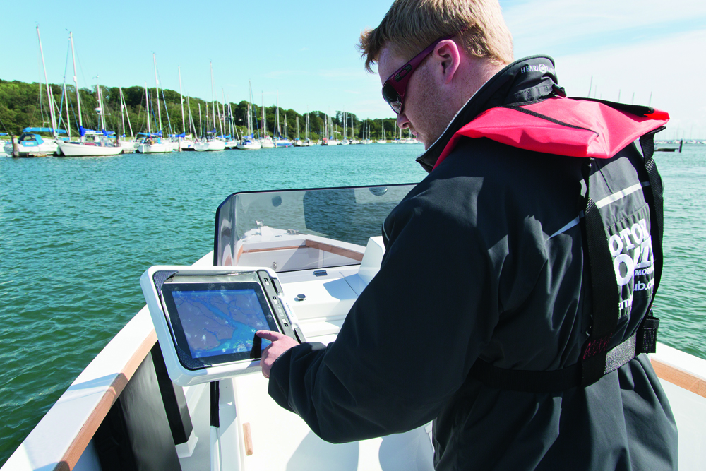
Nav Apps
iNavX – ($49.99)
When users shell out the hefty fee (for an app, anyway) what they are really paying for is an abundance of charts, including a healthy portion of NOAA maps. But even if the app doesn’t come with the particular chart that individual users require, they will still likely find it available for download from X-Traverse. iNavX is framed on a fairly complex interface that is best experienced via tablet. Among other features it allows the user to plot courses and set distance and bearing waypoints.

Navigator Apps – ($42.99)
Another one that delivers for the price, Navigator App comes with a host of goodies, including comprehensive rastor charts. These cover the seven principal regions: West U.K and Ireland, English Channel, the Netherlands, Eastern Caribbean, Atlantic Europe, North Sea and the Western Mediterranean. As for features, the app includes waypoint management, email sharing of routes, aerial photographs and compass management.

Weather Apps
Weather 4D Pro – ($30.99)
This option puts the focus squarely on the visual and is one of the better ways to view and decipher GRIB charts. Even those who lack experience in such areas will find the interface intuitive, allowing the user to quickly and easily copy and paste weather charts and send them out via email. All the charts come in the form of satellite photos and, in one other nifty feature, can be overlaid atop one another and set to display at various times. Those who can do without all the extras can pay $5.99 for a lite version of the app.
Marine Data Apps
Marine Traffic – ($3.99)
This is one of the better options for displaying AIS broadcast data. An offshoot of the website of the same name, the app version allows for added convenience. Not only that, but it comes with a comprehensive library of over 700,000 real-world, nautical-themed images, from vessels to lighthouses.
Digital Yacht AIS – (free)
This is another good app for reading AIS data, but there is a catch: users must have the Digital Yacht WiFi system installed on their handheld.
By downloading at least one app from these categories, boaters should have all the resources they need, all accessible at the swipe of a touch screen. And despite the influx of new apps on a daily basis, most of these options should prove viable for the foreseeable future.
Image credit: Google free to use
Logan Peterman is a professional blogger that shares his knowledge and advice on maintaining your yacht. He writes for Yachtlights.com, the best place to get all of your marine lights, accessories and more.